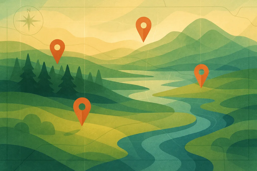
The Nature Conservancy’s (TNC) interactive conservation maps are digital tools that display where environmental protection efforts are happening globally. These maps are freely accessible online and highlight protected lands, priority ecosystems, wildlife corridors, and regions at risk from climate change.
These maps allow you to see where conservation actions are making a difference. You can locate local preserves, explore climate-resilient zones, or understand where freshwater restoration is occurring. Whether you’re a student, policymaker, donor, or volunteer, TNC’s maps make complex environmental data clear and usable.
This guide explains how to use The Nature Conservancy’s maps and what each one offers. You’ll find detailed descriptions, real-life applications, and direct links to each interactive map. By the end, you’ll know how to access these tools for education, advocacy, or your own conservation work.
How to Use TNC’s Interactive Conservation Maps
TNC maps are designed for users of all levels—no GIS skills required. You can zoom in on states or local areas, click on regions to see ecological importance, and download data layers. For example, their “Resilient and Connected Landscapes” map helps you see which U.S. areas support biodiversity and can adapt to climate change.
These tools serve a wide range of needs. Teachers use them in the classroom, nonprofits use them to plan community events, and individuals use them to find local nature preserves. The maps are backed by peer-reviewed science and kept up to date by TNC experts. They’re also completely free to access.
Top Conservation Maps You Can Use Today
- Resilient and Connected Landscapes Map
Identify U.S. areas vital for biodiversity and climate resilience. Great for land use planning and environmental education. - Global Conservation Priorities Map
View TNC’s international focus areas, including forests, oceans, and climate resilience strategies. Perfect for international research and donor transparency. - Freshwater Network Map Tools
Explore where rivers and watersheds are being protected or restored. Supports science projects, watershed planning, and policy advocacy. - Nature’s Network Habitat Explorer
A Northeast U.S. map co-developed with the U.S. Fish & Wildlife Service. Highlights corridors and habitats important for regional biodiversity. - Site Renewables Right Map
Helps balance renewable energy development with nature protection. Useful for planners and environmental consultants.
Discover Conservation Work Near You—And Get Involved
Start exploring conservation landscapes through TNC’s official portal. Then take the next step with these trusted resources: